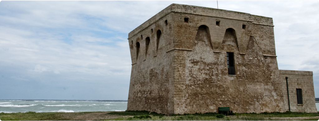
The case study area is along the Adriatic coast of the Apulian region (South-East of Italy), a few kilometres north of the town of Brindisi. It lies at the margin of a hydrogeological transition zone known as ‘Soglia Messapica’ (Messapian Threshold) between two important structural geological domains: the Murgia Plateau and the Salento peninsula. In this area, soil and groundwater salinization issues critically encroach upon the evolution of coastal wetlands (a unique wildlife heritage included among WWF Nature Reserves) and water management measures. A relevant data amount is available on groundwater-seawater interaction, agricultural practices, and integrated water resources management at the watershed level.
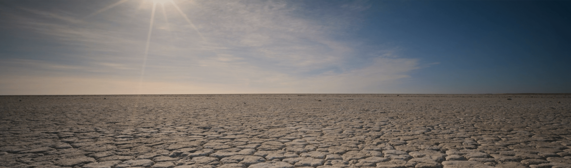
During the last decades, the area has been characterized by a dry sub-humid climate and trends have been identified in the whole southern part of the Apulia towards more arid conditions. Location, morphology, and hydrogeology of the area joined to the observed changes of the rainfall regime explain the critical level of saltwater intrusion whose adverse effect on groundwater is stressed by the overexploitation of such a resource for irrigation. It is noteworthy that this area is characterized by intensively irrigated horticultural production. This scenario indicates a relevant water scarcity risk within the pilot area which may affect agricultural activities as well as wetland conservation. The expected negative trend may require a careful analysis of current and alternative land use and water management strategies to cope with changing dynamics of water demand and supply.
Study Area Description
Location: south-eastern part of the Apulia region (Southern Italy)
Area: approximately 30 km2
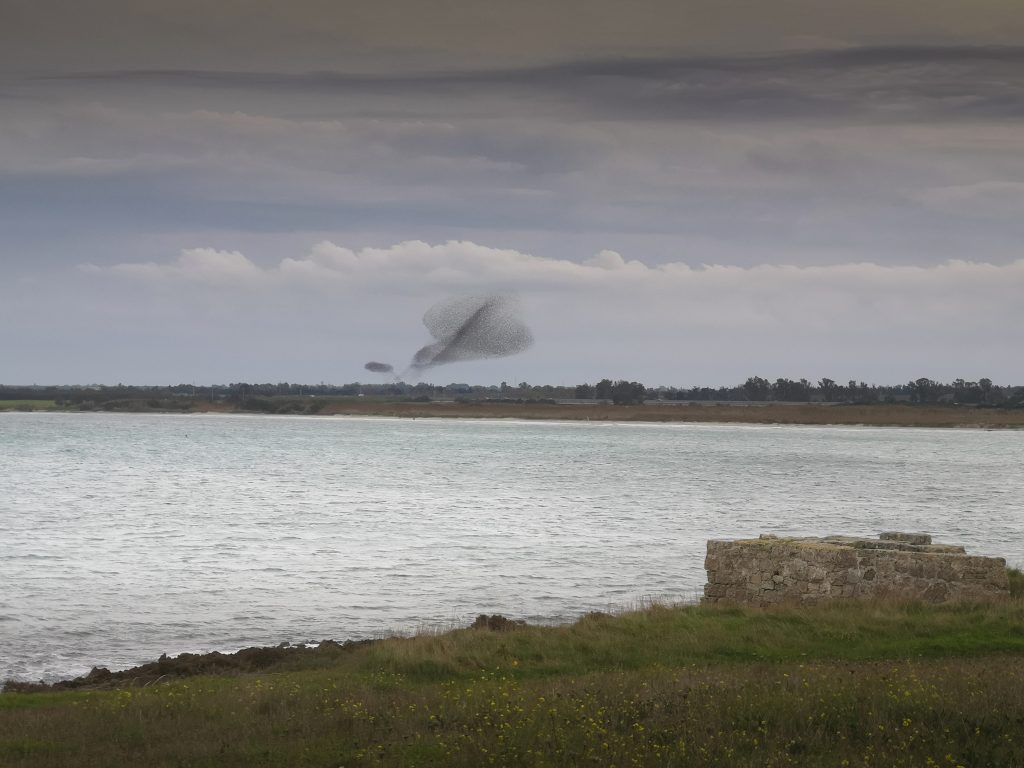
Nature reserve: marine area and the natural area (1,100 ha) with 8 km of natural coast
Elevation: from 0 to 108 m a.s.l.
Average rainfall: about 600 mm/year
Average evaporation: about 1,000 mm/year
Population (2022): about 17,000 (town of Carovigno)
Water Resources in Torre Guaceto
Conventional
Rainfall
Groundwater
Unconventional
Treated sewage effluent (TSE)
Groundwater Resources in Torre Guaceto
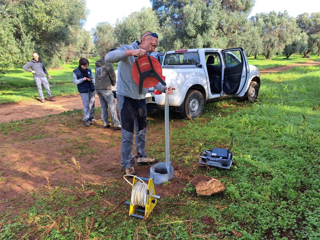
The Torre Guaceto area lies over the coastal Murgia groundwater body hosted in the Cretaceous carbonate rocks succession. The water table is located 15 m – 20 m below the ground level at a few meters above sea level.
Groundwater salinity ranges between 1.6 g/L and 6.0 g/L (avg. 3.8 g/L)
Groundwater supplies 100% of agricultural water demand
Extraction rate: 2 million m3/year
Safe yield: 1 million m3/year
Consequences of Soil and Water Mismanagement in Torre Guaceto
Aquifer exploitation is causing impacts in terms of piezometric lowering, reduction of springs outflow, increasing the risk of saline intrusion in the coastal groundwater system, and decrease of groundwater contribution to surface aquatic ecosystems.
The impact of overexploitation is motivated by the presence of high-value vegetable crops and vineyards and can result in an increase in saline intrusion with a consequent reduction of freshwater availability and soil salinization in agriculture.
The expected sea levels at 2,100 for the investigated coastal areas is around 1000 mm causing land flooding in lowland coastal zones and impacts on groundwater resources by changing the equilibrium between freshwater and saline water.
Salinization of agricultural soils may occur in coastal areas where seawater enters the aquifers used for irrigation supply and can be aggravated by improper management practices, poor irrigation water quality, and variations in rainfall and temperature patterns due to climate change.
An anthropogenic contribution to the groundwater balance is the discharge of treated wastewater from two wastewater treatment plants (WWTP) both directly into the Canale Reale River, which bounds the area on the southern edge and through infiltration basins.